
she'll be staying in the US.
I'm returning to Kyrgyzstan! I'm leaving the US on May 9th, and arriving in Kyrgyzstan on May 11th, and I'll be there through the end of July. The last time I was in Kyrgyzstan, I worked as an EFL teacher at The London School in Bishkek. (If you look closely at their website, you can see a lovely picture of me, wearing leopard print pajamas and stuffing my face.) This trip will be a little different.
The first part of my trip, several of us from Desolation Travel are meeting up for a two week jaunt around the country. We plan to start from Bishkek (the capital), then pop over to our favorite village of Kochkor. After Kochkor, we'll be popping over to the Chong Kemin area to meet with a fellow who is involved with a fellowship that's setting up English language schools in rural villages in Kyrgyzstan. Then, after passing through Bishkek, we'll be heading southward to make our way through the nature reserve at Sary Chelek, the nuclear waste dumps at Mailuu-suu, the walnut forests of Arslanbob, the southern 'capital' of Osh, although not necessarily in that order. After our two week whirlwind tour around the country, my travel companions will return home, and I will get to work.
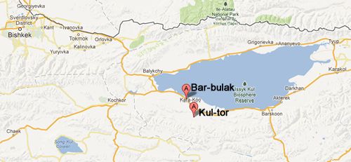
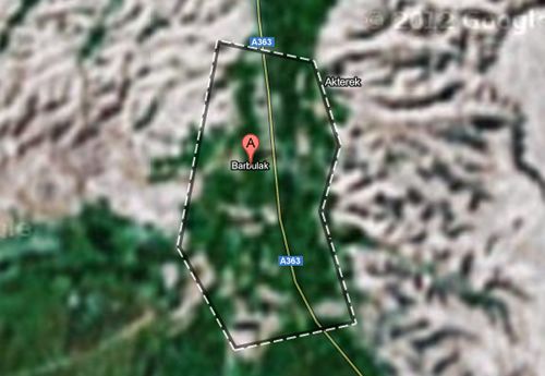
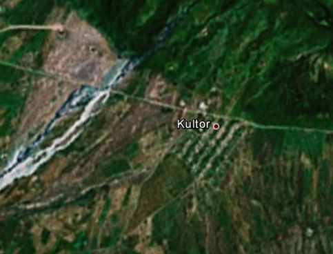
I'll be spending June and July volunteering (arranged through The London School) in two different villages, where I will be teaching English. In June I will be in Kultor (which is too small to rate a link on wikipedia), located about an hour's drive south of Lake Issyk Kul (the big lake you can see on every map of Kyrgyzstan). I will be spending July in an even smaller village called Bar-Bulak (which has the advantage of being located less than two miles from the southern shore of Lake Issyk Kul). Anyway, here are some graphics to illustrate pretty much everything I know about Kul-tor and Bar-Bulak, which admittedly is not very much.
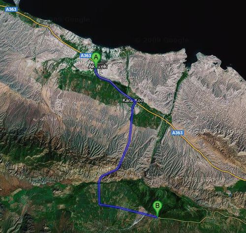
A marks Bar-bulak, B marks Kultor. The black area at the top is Lake Issyk Kul.

No comments:
Post a Comment